
GALVESTON, Texas – The Corps of Engineers conducted a press conference to inform the public about the gradual reduction in releases from Addicks and Barker dams which began Sunday. The reductions will take place until approximately September 15.
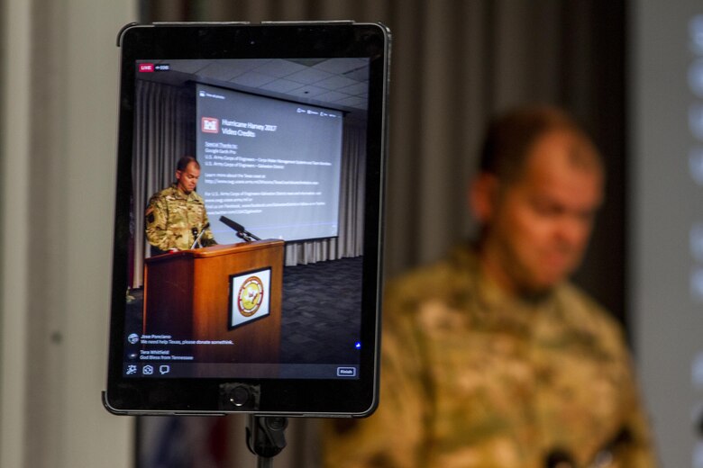
Galveston District Commander, Col. Lars Zetterstrom, during remarks at the press conference, stated, “As water is drawn down in the reservoirs, the Corps expects water levels in areas flooded upstream of the reservoirs to recede.” Downstream homeowners will see a very gradual decrease in water elevations as releases are reduced as well.”
Zetterstrom cautioned everyone that if the area experiences more rainfall before the reservoirs are empty, higher releases may become necessary again. Therefore, your local emergency management agencies may encourage you to stay out of flooded areas until Buffalo Bayou is within its banks.
“After careful deliberation, we developed a plan to draw down water in a manner that minimizes risk for the maximum amount of people,” said Zetterstrom.
The Corps makes daily coordination calls with local government and stakeholders.
“We continue to work closely with our partners - the city of Houston, Fort Bend County, Harris County and the Texas Department of Public Safety, to provide them with the most current information available so they can make informed decisions,” said Zetterstrom.
During the press conference, the Corps showed a video depicting the inundation at the onset of the storm through September 4, and what the Corps anticipates will happen with the gradual reductions in releases through September 15.
The video can be seen at the link below along with a story map, used by first responders to determine where flood waters may be in rescue operations.
http://ceswg.maps.arcgis.com/apps/MapSeries/index.html?appid=c0f618733c7b45709232f52c14f608df
-#-